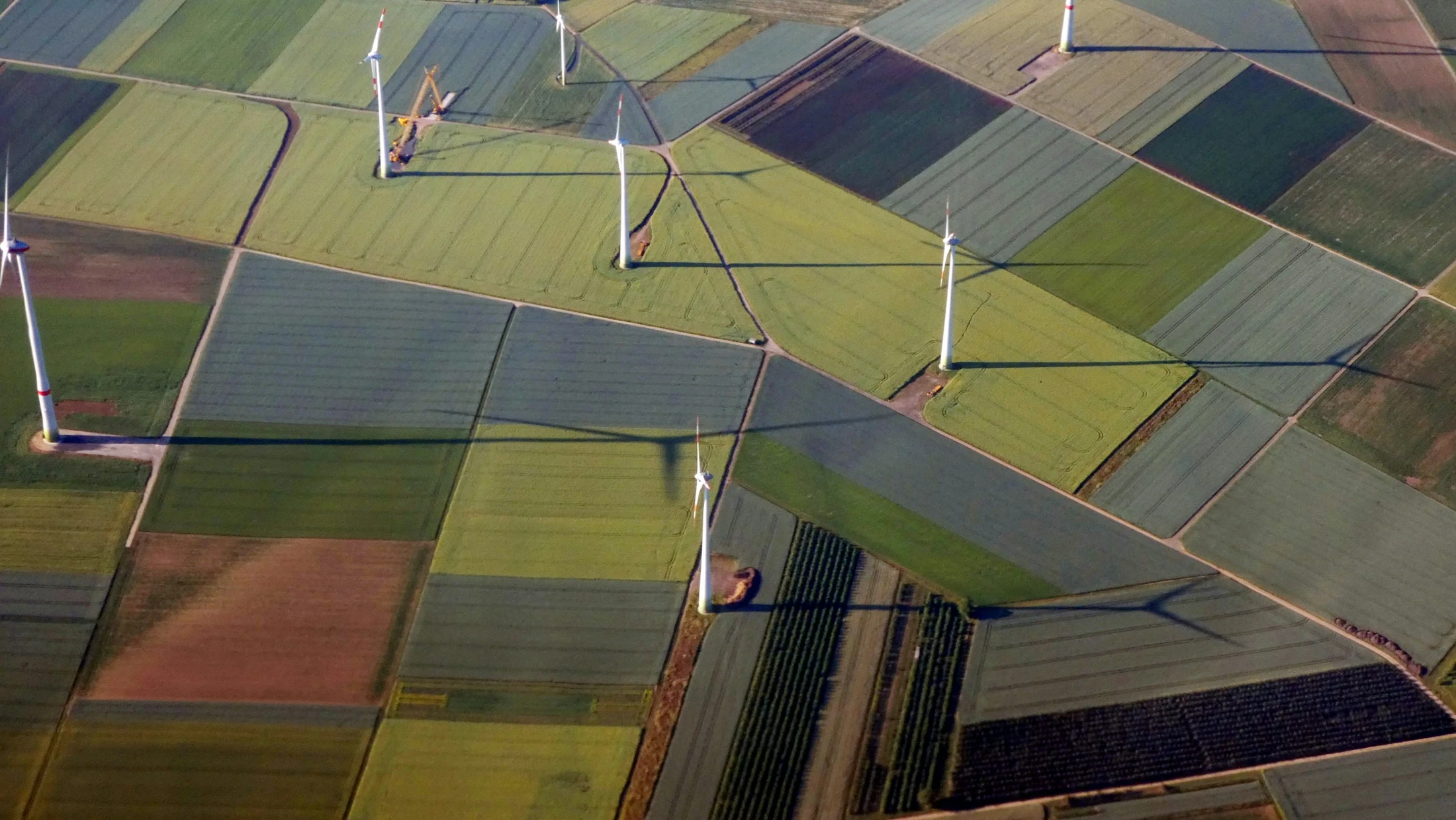
GIS-led site selection
A shortlist built from open data and your own criteria, not one site checked at a time on Google Maps.
Finding sites one at a time doesn't scale past a handful of candidates. We build the candidate list from open data first (business listings, designations, planning and property records), score every site against your own criteria, and hand it to your team in a portal where each one can be accepted, dismissed, or flagged for a closer look.
What this covers
- Candidate sites sourced from open data against a defined region and criteria, not a manual map search
- Every site scored against your rules, with its own data confidence shown rather than a single opaque number
- A hosted portal for your team to review, accept, dismiss, or flag any site for a fixed-fee appraisal
- A documented, repeatable process: the same criteria applied consistently as the candidate pool grows
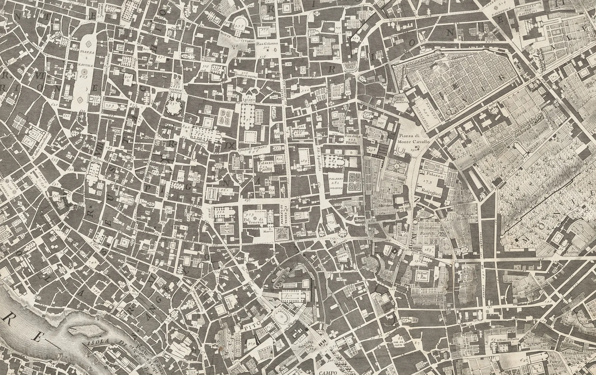

What this replaces
Checking sites one at a time on Google Maps or a portal built for someone else's criteria means the judgement happens in someone's head, is not written down, and does not scale past the sites one person can personally review. The method does not get better as the search gets bigger. It gets slower.
We built this differently for a site-selection client: the candidate list came from open data first, every candidate was scored against the client's own rules, and the result went into a portal where their team could work through it without us in the loop for every decision.
How the tool works
The workspace holds search, filter and shortlist tools in one place, built on your own data as the source of truth. Authorised users add status and notes directly on the map, so context stays attached to the site rather than living in a separate spreadsheet. A portfolio dashboard gives leadership a live view without extra slide work.
Where we've done this
Over a three-week sprint, we pulled a client's scattered internal spatial data into one workspace, set common data standards, and stood up a working site-selection app with an operational dashboard. The result is a single source of truth the team now uses for day-to-day shortlisting decisions, built to extend into new regions without re-architecture.
- 3 weeks
- from brief to a working product
- 1 workspace
- search, filter, shortlist and report
Common questions
What counts as a site selection brief?
Any case where you need to find and compare sites against your own criteria across a region, rather than evaluating one site you already hold. If you already have a shortlist and need one site checked in detail, that's a different, narrower piece of work. Ask us and we'll point you the right way.
What data does the shortlist use?
Open national datasets as the default (business listings, planning and property records, environmental and infrastructure designations), plus any of your own data or existing shortlist you want folded in.
Do we need our own GIS team to use the portal?
No. The portal is built for your team to review and act on, no GIS experience required. If you do have your own GIS, the same scored data can be delivered into it instead.
Talk through your brief
A short call gets us from "is this even the right fit" to a clear next step. Free, no obligation.