
Custom GIS mapping and technical cartography
Planning-ready maps and technical drawings, built from your own spatial data rather than redrawn from scratch each time.
Submission-ready maps for planning and development work: constraint plans, wayleave and easement drawings, site boundary and title plans, portfolio and coverage maps. Each one comes from a documented spatial source, so the next revision is an update, not a redraw.
What this covers
- Constraint and designation maps built to planning submission standard, with sources and symbology documented
- Wayleave and easement plans, digitised against the correct boundary and title data, not a redrawn approximation
- Portfolio and coverage maps that update as the underlying data changes, instead of going stale the day they are exported
- A standard template and symbology set, so a second map from the same client looks and sources the same way as the first
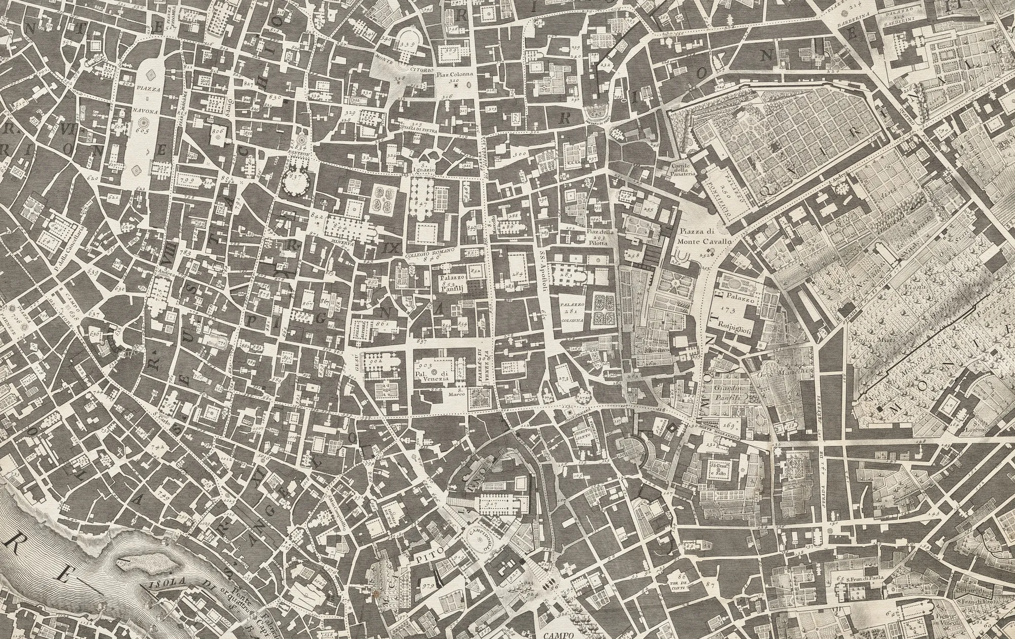

Why 'just make a map' goes wrong at scale
A single map is easy. The problem shows up on the tenth one, when nobody can say for certain which version of a boundary file it was built from, or why two maps of the same area disagree. We saw this directly reviewing a national property consultancy's drawing office: plans built in CAD from Land Registry scans and raw Ordnance Survey data, with no single documented source a reviewer could check against.
The fix is not a prettier map. It is a mapping process where every layer has a known source, a known update date, and a template that stays consistent as the person producing the map changes.
How we build it
We work from your own spatial database where one exists, or build the underlying layers as part of the brief where it does not. Either way, the map is a view onto maintained data, not a one-off export, so the next version is faster, not a repeat of the same work.
Where we've done this
For a national property consultancy's rural division, we mapped how five separate teams actually produced maps and drawings day to day, including a drawing office converting raw Ordnance Survey data and Land Registry scans into CAD plans with no documented source trail. The resulting data register and migration plan gave every team a traceable path from source data to finished map.
- 5 teams
- mapping workflows reviewed independently
- 76,000+
- existing map records audited in one source system
Common questions
Do you produce maps for planning submissions directly?
Yes. Constraint plans, designation maps and site boundary plans built to a standard a planning authority or examiner expects, with sources documented so they hold up to scrutiny.
Can you work from our existing CAD or GIS files?
Yes. Where files already exist we work from them directly rather than starting over, and flag where the source is unclear so that gets fixed once rather than repeated on every map.
Is this a one-off job or ongoing?
Either. A single mapping brief works as a fixed-scope project; recurring mapping needs (coverage updates, new sites, revised boundaries) usually make more sense as embedded support.
Talk through your brief
A short call gets us from "is this even the right fit" to a clear next step. Free, no obligation.