GIS project support for land surveyors
Overflow GIS capacity for survey firms: CAD-to-GIS handover, archive consolidation, and spatial outputs your survey team doesn't have time to build.
Most survey firms are set up to survey, not to run a GIS. When a job needs its output turned into a maintained spatial database, published as a web map, or reconciled against a job archive going back years, that work either stalls or eats into billable survey time. We take it on as overflow capacity.
What this covers
- Converting CAD survey outputs into structured GIS data, with attribute schemas that survive beyond one job
- Consolidating project archives into a searchable job-boundary database instead of a folder of disconnected files
- Publishing survey outputs as web maps or hosted layers clients and field teams can access without CAD software
- Data cleanup and standardisation across jobs produced by different surveyors over different years
Where this actually shows up
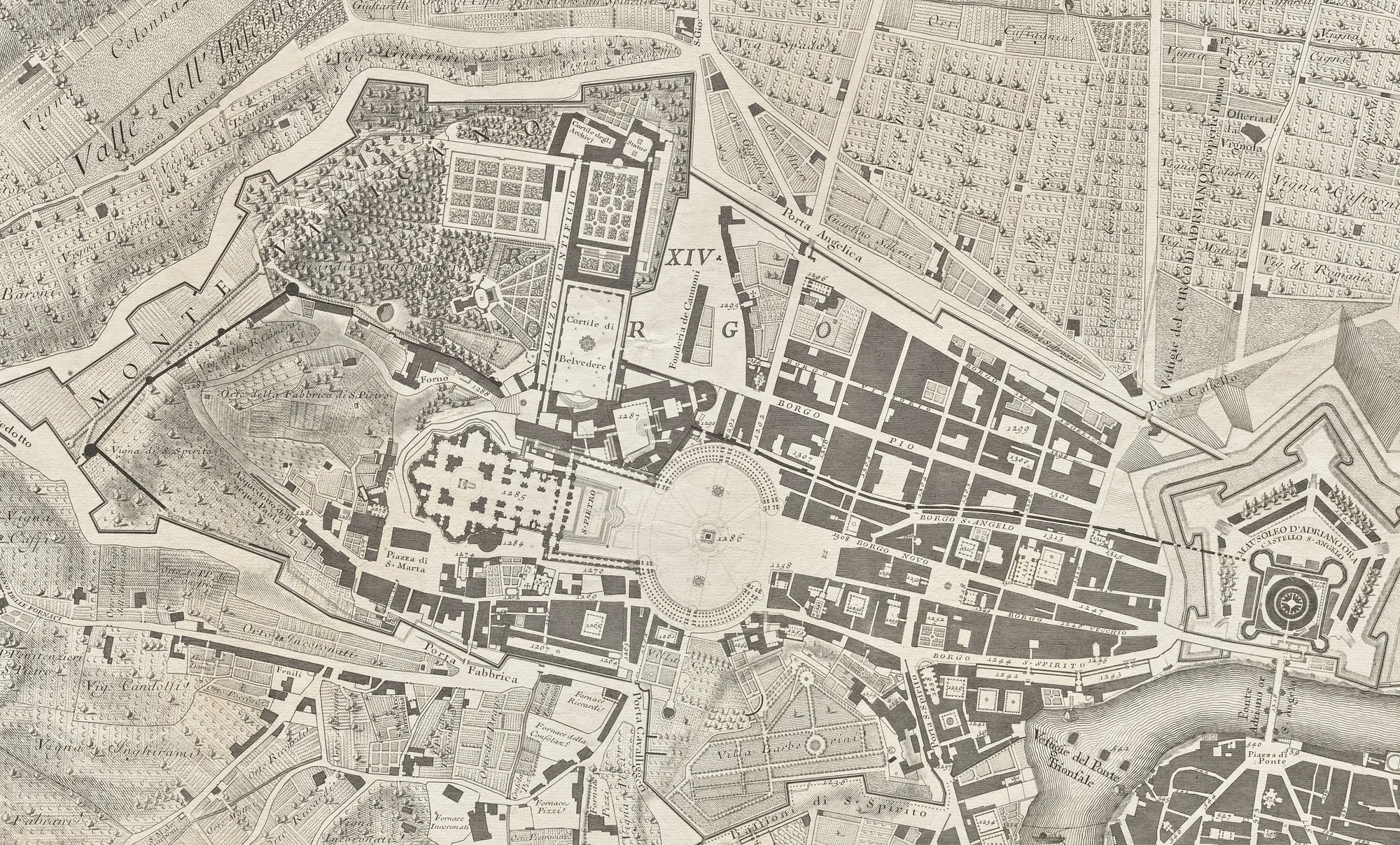
A survey firm's real GIS problem is rarely the current job. It's the five years of past jobs sitting in individual folders, each with its own naming convention, each only findable by whoever did the work. A new enquiry about a site surveyed three years ago means someone hunting through old projects rather than querying a database.
We've done this exact work before: for a national property consultancy, auditing more than 76,000 existing map records in one source system and flagging roughly 500 immediately as test or duplicate entries ready for clean-up. It's the same kind of archive sprawl a growing survey practice accumulates without anyone deciding to let it happen.
Why it's overflow, not a hire
This work comes in bursts: a big job finishes, an archive needs sorting before a system migration, or a client asks for something the survey team has never had to deliver before. A full GIS hire sized for the busy months sits underused the rest of the year. We scale to the actual workload, then step back.
Common questions
We're not a GIS-literate team. Does that matter?
No. Most of the survey firms we work with don't have in-house GIS, that's the point. We hand back something your team can use (a web map, a simple viewer, exported files) without needing to run the GIS yourselves.
Can you work directly from our CAD files?
Yes. CAD-to-GIS conversion, with the attribute structure built around how your jobs are actually organised, is most of this work.
Is this ongoing or a one-off project?
Both happen. An archive consolidation is usually a fixed-scope project; firms with a steady stream of jobs needing GIS output sometimes move to a small retained capacity instead.
Talk through your brief
A short call gets us from "is this even the right fit" to a clear next step. Free, no obligation.