Knowledge Hub
New to GIS or wondering how a consultant fits into your workflow? Start here.
Last updated: October 2026
Geospatial Basics & Understanding GIS
Geographic Information Systems connect data with location, enabling organisations to see patterns, plan projects effectively, and make informed decisions. GIS helps manage land, assets, or networks by transforming raw data into visual insights that guide action.
Whether you're tracking property portfolios, planning infrastructure routes, or analysing customer catchments, GIS turns spreadsheet rows into spatial intelligence. Read more about practical GIS use cases for businesses.
GIS solves location-based challenges by converting complex data into spatial intelligence. It can identify sales gaps or underserved areas for business development, run countrywide site feasibility studies using layered datasets such as terrain and zoning, and support biodiversity mapping to pinpoint conservation areas using open data sources.
It also streamlines field data collection by replacing manual site logs with digital survey apps. See how we applied this in a three-week site selection sprint for a solar developer.
GIS connects spatial features to real-world data, whereas CAD focuses on design and measurement. CAD tools like AutoCAD or SolidWorks excel at engineering drawings and 3D modelling, while GIS platforms such as Esri ArcGIS or QGIS are designed to analyse, store, and display geographic data in its real-world context.
The key difference: CAD tells you what something looks like. GIS tells you what it means, where it sits relative to other features, and how it changes over time.

Esri provides a commercial suite of enterprise tools with strong support and a large ecosystem. QGIS is open-source and flexible, giving users strong analytical control and customisation freedom with no licence cost. MapLibre focuses on modern web mapping, ideal for online visualisation and lightweight browser-based applications.
The right choice depends on your scale, budget, and infrastructure. Many organisations use a combination. Read our guide to GIS tools for smaller teams.
In many cases, no. Web-based GIS platforms such as ArcGIS Online or MapLibre allow viewing and interacting with maps through a browser without installing anything.
For deeper analysis, editing, or running spatial processes, desktop tools like QGIS (free and open-source) or ArcGIS Pro provide the necessary functionality. Which you need depends on whether you're viewing, editing, or analysing data.
Geocoding converts addresses or place names into map coordinates (latitude and longitude), allowing you to plot locations on a map and run spatial analysis. It's essential for tasks like mapping customer locations, visualising delivery routes, or analysing service coverage.
Accuracy varies between geocoding services, so choosing the right one matters. Read our plain-English guide to geocoding.

GIS data accuracy depends entirely on the quality of input data. GIS itself is a framework for displaying and analysing data, not creating it.
Improving accuracy involves validating datasets regularly, maintaining consistent coordinate systems, and documenting data sources clearly. Public datasets such as OS Open Data or Environment Agency feeds should always be reviewed to understand their collection methods and update cycles before relying on them for decision-making.
Yes. Most modern GIS platforms connect with everyday business tools. Spatial connectors and APIs enable linking datasets from Excel, databases, or cloud storage directly into GIS maps.
You can embed live GIS layers inside Power BI dashboards for reporting. A GIS specialist can configure these connections securely so updates flow both ways, ensuring maps and dashboards always reflect the latest data.
Data, Integration & Systems
Centralise data in a structured geodatabase or cloud GIS platform such as ArcGIS Online, ArcGIS Enterprise, or PostGIS. This unifies layers from CAD, Excel, and field apps into one accessible source of truth, complete with version control and metadata standards.
We scoped exactly this kind of consolidation for a national property consultancy, where five teams were each working in a different GIS tool with no shared standard between them.
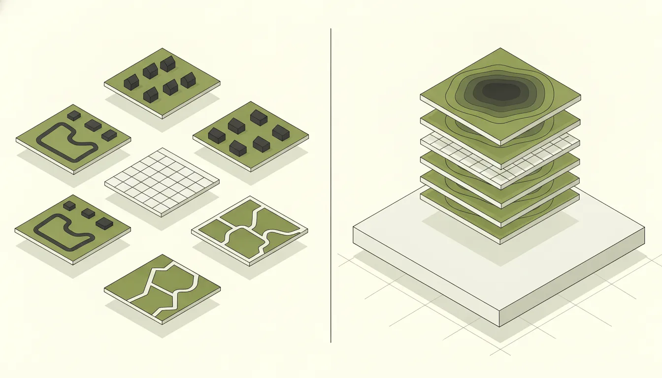
Often this results from mismatched identifiers, inconsistent schemas, or legacy formats that were never designed to interoperate.
Resolution typically involves API development or middleware integration, ETL pipelines (Extract, Transform, Load), and data model alignment with key standardisation. The goal is data flow between GIS and wider business systems so teams aren't manually re-keying information.
It depends on what you're actually trying to do, not which tool is "better" in the abstract. QGIS is free and open-source, and a strong choice if licence cost matters or your team is comfortable with a more technical, plugin-driven workflow. ArcGIS (Online or Enterprise) costs more but comes with polished web app builders, wider third-party support, and a gentler learning curve for non-technical staff. PostGIS is not a competitor to either. It's the database layer underneath, and pairs well with both QGIS and ArcGIS when you need a proper, queryable, multi-user spatial database rather than a folder of shapefiles.
Most organisations end up using a mix: PostGIS as the central data store, with QGIS and ArcGIS both connecting to it depending on who's doing the work. See our GIS basics articles for the underlying concepts, or get in touch if you want a recommendation specific to your team.
Open formats such as GeoPackage, GeoJSON, or File Geodatabase maintain attribute integrity and coordinate systems during migration. Schema mapping and QA checks at each step ensure minimal data loss or rework.
The complexity depends on how much custom styling, symbology, and automation needs to be rebuilt in the target platform. We always recommend running a pilot migration on a representative subset before committing to a full move.
Adopt a single, organisation-wide spatial reference and publish a set of approved base maps. For UK operations, British National Grid (EPSG:27700) is the standard. This avoids confusion, ensures accuracy across teams and projects, and prevents the costly errors that come from mixing coordinate systems. Document the standard and enforce it in your data governance policy.
Data quality management involves both automation and governance. This includes attribute and geometry validation rules, QA dashboards for error tracking, controlled editing environments with versioning, and clear ownership for dataset maintenance.
A one-off clean is rarely enough. Building validation into your workflows means data quality improves over time rather than degrading.
A spatial data audit reviews your existing GIS datasets for completeness, accuracy, consistency, and fitness for purpose. It identifies gaps, duplicates, orphaned layers, and governance issues.
You need one when you're planning a system migration, merging teams or datasets, or when confidence in your data has dropped. In one audit for a national property consultancy, a single dataset held over 76,000 records, with roughly 500 flagged as test or duplicate entries before it could be trusted for migration. Audits produce a clear picture of what you have, what's missing, and what to fix first.
Get practical GIS tips straight to your inbox
Short, useful updates on geospatial strategy, tools, and project delivery. No spam.
Implementation & Adoption
Often because it feels too technical or doesn't fit how people actually work. Adoption improves when tools are easy to access, relevant to each user's role, and clearly explained.
Systems designed around simplicity and tangible value encourage engagement. If a tool adds friction to someone's day without obvious benefit, they won't use it regardless of how powerful it is.
User experience comes first. We focus on clean, intuitive interfaces and build web apps showing only the tools each user needs. Role-based permissions keep interfaces simple and relevant, so a field surveyor sees a different view from a portfolio manager. The goal is confident engagement from every team, not just the GIS specialists.
Setup typically involves infrastructure planning, security configuration, data migration, user onboarding, and governance documentation. This process is tailored to your IT environment and thoroughly documented so systems are maintainable long-term.
Enterprise GIS is not a single product install. It's an architecture decision that touches databases, networks, identity management, and end-user tools.
Training involves hands-on workshops using your own data, adapted to each role. A planning officer needs different skills from a data analyst or a field inspector. We focus on real-world tasks and decision-making rather than abstract theory, so people leave the session able to do their job better, not just knowing which buttons to press.
Projects often struggle when data preparation is rushed, users aren't involved in design decisions early enough, or the solution is over-engineered for the actual need.
Skipping governance documentation causes problems months later when nobody remembers why things were set up a certain way. A structured, collaborative approach avoids these issues and ensures long-term success.
Track tangible outcomes rather than usage metrics alone. Good indicators include time saved on routine tasks, reduction in data errors or duplicated work, faster reporting cycles, and whether teams are making decisions they couldn't make before.
If GIS is saving your team hours per week or surfacing insights that change project outcomes, it's working.
Industry-Specific Applications
GIS brings together layers of wind, solar, terrain, grid connection, and planning data to identify the most viable development sites. It helps developers screen land parcels against environmental and logistical constraints before committing resources, reducing evaluation time from hours to minutes.
We built a site selection app and dashboard for a UK solar developer that did exactly this, screening thousands of parcels across multiple constraint layers.

GIS provides a single, visual view of land and property assets, linking ownership data, planning constraints, and site performance. This helps estate and asset managers make faster, more informed decisions about acquisitions, disposals, and maintenance.
Cloud GIS platforms can transform estate management by connecting Land Registry titles, building footprints, and planning histories into one unified intelligence layer. See our property consultancy case study for an example.
GIS underpins spatial planning, asset management, and service delivery across local authorities. It supports housing need assessments, infrastructure planning, flood risk mapping, and community engagement through interactive public-facing maps.
With local government reorganisation underway in parts of England, GIS is also central to merging datasets and aligning spatial systems across merging authorities. See our local authority GIS packages for how we scope this work.
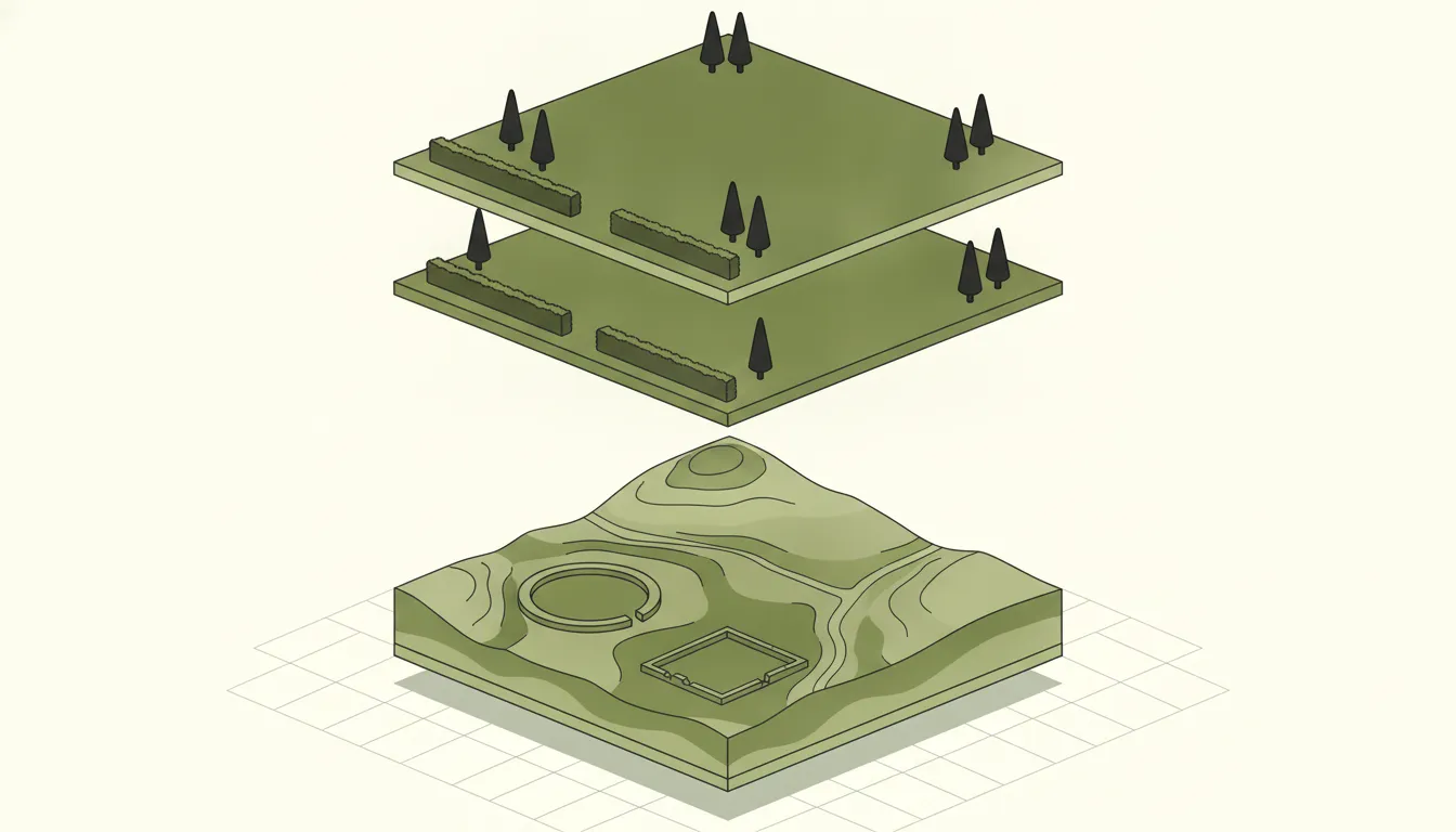
GIS visualises and manages spatial information about finds, excavations, and historic environments. It supports site recording, heritage impact assessments, and landscape-scale analysis, helping heritage professionals manage complex landscapes and balance conservation priorities with development needs.
Techniques like LiDAR integration and geophysical survey overlay can reveal features invisible at ground level.
Infrastructure projects depend on clear spatial understanding of asset locations, connections, and constraints. GIS brings design, survey, and operational data into one shared system, supporting both planning and delivery. Field teams access live maps through mobile devices, reducing survey duplication and improving coordination with stakeholders and contractors.
National-scale solar assessment requires combining building footprint data, roof geometry, orientation, environmental constraints, and planning records into a single queryable platform. GIS makes it possible to assess millions of buildings for solar viability without visiting a single site.
We built the spatial foundation for Apexion's 44-million-polygon platform, drawing planning data from 317 local planning authorities and over 50 environmental and planning constraint datasets across England and Wales.